The Valley

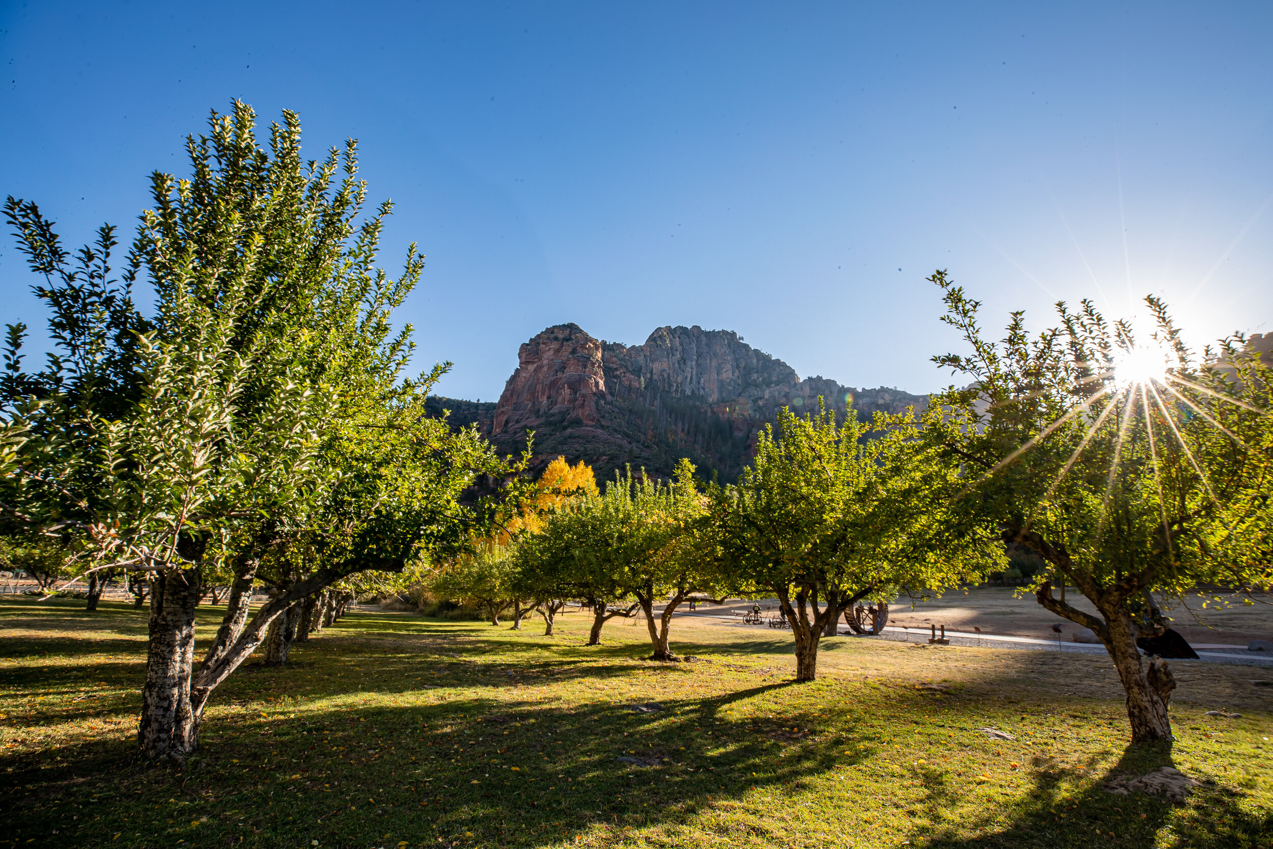
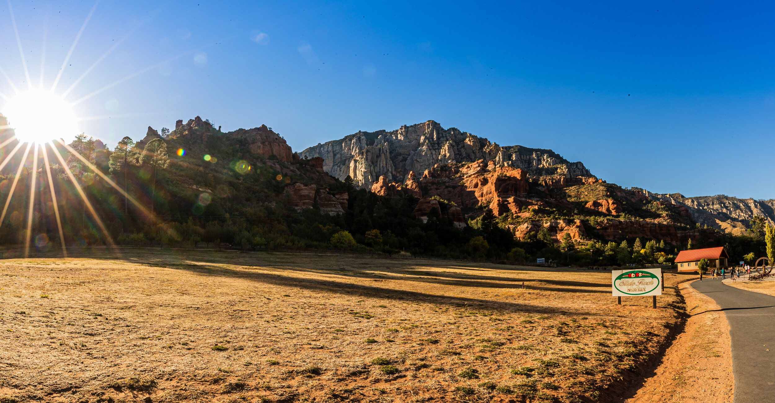
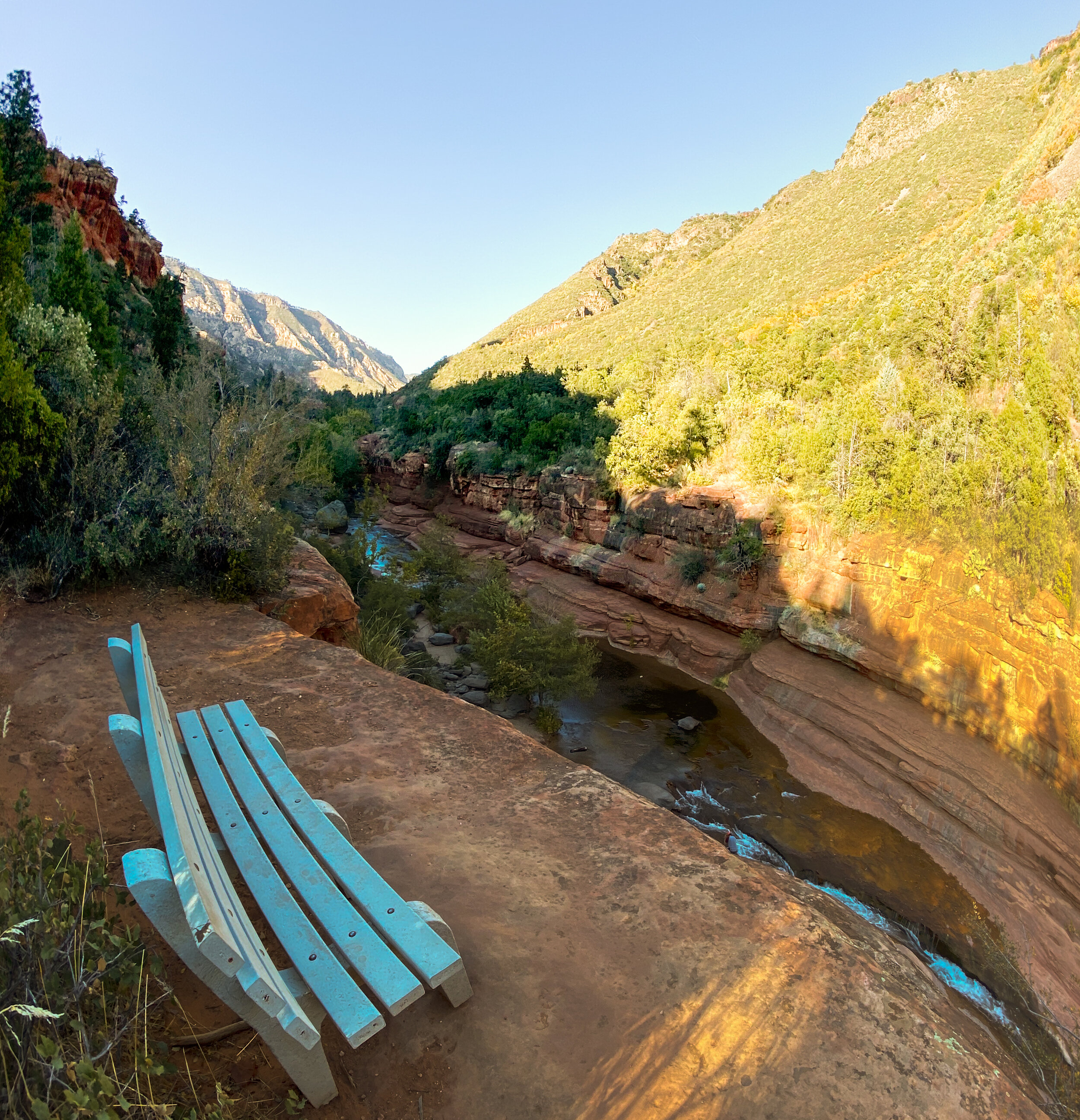
View of the valley below Sulphur Mountain in Banff, Alberta, CA.

Location: 51°8'41.346" N 115°34'29.592" W // https://bit.ly/3Bub1mw

Follow me on Instagram: @medic1480 // https://bit.ly/3z29voR

Camera Body: Canon EOS R3

Lens: EF 50mm f1.4

Tripod: Peak Design Travel Tripod

View and purchase photos from this feed on my website: https://medic1photography.com

#landscapedesign #mountainlove #yourshotphotographer #adventurethatislife #CanonR3 #shotoncanon #banffnationalpark #explorebanff #banffcanada #banffalberta #banffgondola #photographer #traveling #vacation #travelling #sunset #traveltheworld #mountains #traveller #instagood #sulphurmountain #photooftheday @canonusa @peakdesign #travelgram #azphotographer #phoenixphotographer
Along The Western Skyline

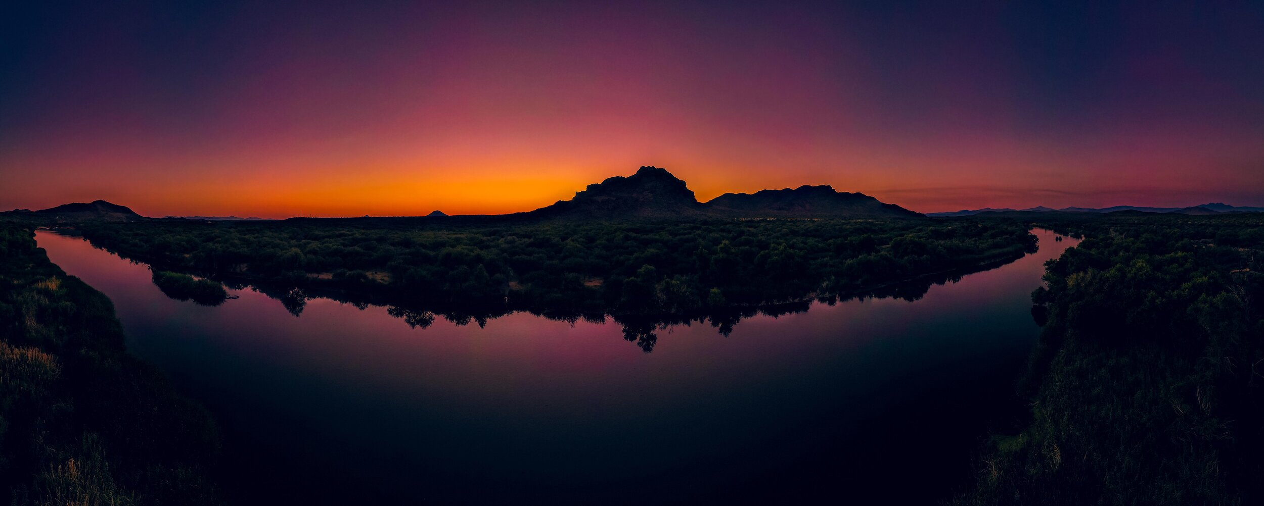
Another sunset highlights the ridgelines along South Mountain.

Location: 33°19'29.63" N 112°4'36.97" W

Follow me on Instagram @medic1480

View and purchase photos from this feed on my website: medic1photography.com

#landscapedesign #mountainlove #igersarizona #exploreaz #igersphx #ilovearizona #azgrammers #weroamarizona #arizonalife #arizonahighways #visitarizona #instagramaz #igarizona #explorearizona #lifeisgoodarizona #everythingarizona #azlife #igsouthwest #azfamily #fox10phoenix #abc15arizona #yourshotphotographer #adventurethatislife #bestofthegrandcanyonstate #shotoncanon #CanonR3 #canonexploreroflight #epic_landscape @w2az @westbysouthwest @arizonacollective @conquerarizona @see_arizona @lifeisgoodarizona @arizonahiking @hikeaz @arizonaadventures @arizonasky @arizonaisgorgeous @canonusa

Valley of the Sun

A late afternoon view of the valley from the National Trail on South Mountain.

Location: 33°19'43.8" N 112°5'13.422" W

Follow me on Instagram @medic1480

View and purchase photos from this feed on my website: medic1photography.com

#landscapedesign #mountainlove #igersarizona #exploreaz #igersphx #ilovearizona #azgrammers #weroamarizona #arizonalife #arizonahighways #visitarizona #instagramaz #igarizona #explorearizona #lifeisgoodarizona #everythingarizona #azlife #igsouthwest #azfamily #fox10phoenix #abc15arizona #yourshotphotographer #adventurethatislife #bestofthegrandcanyonstate #shotoncanon #Canon1DxMarkii #canonexploreroflight #epic_landscape @w2az @westbysouthwest @arizonacollective @conquerarizona @see_arizona @lifeisgoodarizona @arizonahiking @hikeaz @arizonaadventures @arizonasky @arizonaisgorgeous @canonusa

Pyramid Trail Sunset

The Pyramid Trail runs between the 19th Ave Trailhead and the National Trail. It is an enjoyable, yet challenging trail consisting of a 1 mile lead up to a 0.8-mile steep climb through numerous switchbacks and then leveling off to a ridgeline view of Ahwatukee and the Phoenix Radio Towers.

Location: 33°19'30.09" N 112°4'36.954" W

Follow me on Instagram @medic1480

View and purchase photos from this feed on my website: medic1photography.com

#landscapedesign #mountainlove #igersarizona #exploreaz #igersphx #ilovearizona #azgrammers #weroamarizona #arizonalife #arizonahighways #visitarizona #instagramaz #igarizona #explorearizona #lifeisgoodarizona #everythingarizona #azlife #igsouthwest #azfamily #fox10phoenix #abc15arizona #yourshotphotographer #adventurethatislife #bestofthegrandcanyonstate #southmountain #epic_landscape #Canon1DxMarkii #canonphotography #adventurenthusiasts @w2az @westbysouthwest @arizonacollective @conquerarizona @see_arizona @lifeisgoodarizona @arizonahiking @hikeaz @arizonaadventures @arizonasky @arizonaisgorgeous @canonusa

Valley Sunrise

Sunrise crosses the valley as seen from South Mountain.

Location: 33°20'37.386" N 112°2'40.422" W

Follow me on Instagram @medic1480

View and purchase photos from this feed on my website: medic1photography.com

#landscapedesign #mountainlove #igersarizona #exploreaz #igersphx #ilovearizona #azgrammers #weroamarizona #arizonalife #arizonahighways #visitarizona #instagramaz #igarizona #explorearizona #lifeisgoodarizona #everythingarizona #azlife #igsouthwest #azfamily #fox10phoenix #abc15arizona #yourshotphotographer #adventurethatislife #bestofthegrandcanyonstate #phoenixaz #epic_landscape #Canon1DxMarkii #shotoncanon @w2az @westbysouthwest @arizonacollective @conquerarizona @see_arizona @lifeisgoodarizona @arizonahiking @hikeaz @arizonaadventures @arizonasky @arizonaisgorgeous @canonusa

Salt River Twilight

The waters of the lower Salt River flow by the shoreline as twilight settles around Red Mountain outside of Phoenix, Arizona.

Location: 33°31'20.4407" N 111°40'27.7305" W

Follow me on Instagram @medic1480

View and purchase photos from this feed on my website: medic1photography.com

#landscapedesign #mountainlove #igersarizona #exploreaz #igersphx #ilovearizona #azgrammers #weroamarizona #arizonalife #arizonahighways #visitarizona #instagramaz #igarizona #explorearizona #lifeisgoodarizona #everythingarizona #azlife #igsouthwest #azfamily #fox10phoenix #abc15arizona #yourshotphotographer #adventurethatislife #bestofthegrandcanyonstate #saltriver #Canon1DxMarkii #igertucson @w2az @westbysouthwest @arizonacollective @conquerarizona @see_arizona @lifeisgoodarizona @arizonahiking @hikeaz @arizonaadventures @arizonasky @arizonaisgorgeous @canonusa

Lower Salt Twilight_.jpg

Snow Covered

The recent cloud cover, rain and colder temperatures culminated in a beautiful covering of bright snow on our tallest peaks around the valley. Shot from a wayside along highway 88 at a spot named the Apache Gap this is a 25 photo panorama that I stitched together to achieve the final result. I drove out to Canyon lake and took several photos from closer to the water but in the end decided that this wide open vista from a higher elevation provided a better representation of how amazing the view of the snow on the peaks against the blue sky really was.

Location: 33°31'13.206" N 111°27'22.392" W

Follow me on Instagram @medic1480

View and purchase photos from this feed on my website: medic1photography.com

#landscapedesign #mountainlove #igersarizona #exploreaz #igersphx #ilovearizona #azgrammers #weroamarizona #arizonalife #arizonahighways #visitarizona #instagramaz #igarizona #explorearizona #lifeisgoodarizona #everythingarizona #azlife #igsouthwest #azfamily #fox10phoenix #abc15arizona #yourshotphotographer #adventurethatislife #bestofthegrandcanyonstate # #Canon1DxMarkii #FourPeaksSnow #tontonationalforest

Desert Christmas

“Christmas Day will always be, just as long as we have we.”

Location: 33°26'50.688" N 111°30'8.22" W

Follow me on Instagram @medic1480

View and purchase photos from this feed on my website: medic1photography.com

#landscapedesign #mountainlove #igersarizona #exploreaz #igersphx #ilovearizona #azgrammers #weroamarizona #arizonalife #arizonahighways #visitarizona #instagramaz #igarizona #explorearizona #lifeisgoodarizona #everythingarizona #azlife #igsouthwest #azfamily #fox10phoenix #abc15arizona #yourshotphotographer #adventurethatislife #bestofthegrandcanyonstate # #Canon1DxMarkii #christmas2020


Hole in the Rock

In Papago Park there is a natural geological feature called Hole in the Rock which is…..exactly what it sounds like…a large rock formation with a hole in the middle of it. Clearly, this is not the best vantage point from which to see the hole, but the formation standing above the waterline caught my eye and was well framed by the palm tree’s in the foreground.

Location: 33°27'12.744" N 111°56'44.574" W

Follow me on Instagram @medic1480

View and purchase photos from this feed on my website: medic1photography.com

#landscapedesign #mountainlove #igersarizona #exploreaz #igersphx #ilovearizona #azgrammers #weroamarizona #arizonalife #arizonahighways #visitarizona #instagramaz #igarizona #explorearizona #lifeisgoodarizona #everythingarizona #azlife #igsouthwest #azfamily #fox10phoenix #abc15arizona #yourshotphotographer #adventurethatislife #bestofthegrandcanyonstate #phoenixaz #Canon1DxMarkii

Papago View

I actually shot this panorama a couple of weeks ago when I posted the photo of the palm trees reflected on the water, but there was one section of the panorama that was significantly out of focus………….so I went back. The photo was taken at the top of a small hill that hosts a pyramid in which the remains of the first governor of Arizona, his wife, and their families are interred.

Location: 33°27'6.792" N 111°56'41.058" W

Follow me on Instagram @medic1480

View and purchase this and other photos on my website: medic1photography.com

#landscapedesign #mountainlove #igersarizona #exploreaz #igersphx #ilovearizona #azgrammers #weroamarizona #arizonalife #arizonahighways #visitarizona #instagramaz #igarizona #explorearizona #lifeisgoodarizona #everythingarizona #azlife #igsouthwest #azfamily #fox10phoenix #abc15arizona #yourshotphotographer #landscape #adventurethatislife #Arizona #phxskyharbor #1dxMarkii #superstitionmountains #bestofthegrandcanyonstate

Red Mountain

Mount McDowell, aka Red Mountain, towers above the lower end of the Salt River and the valley to the west with prominent peaks such as Camelback Mountain in the background.

Location: 33°32'10.8014" N 111°41'50.7148" W

Follow me on Instagram @medic1480

View and purchase this and other photos on my website: medic1photography.com

#arizona #visitarizona #w2az #ig_arizona #instagramaz #westbysouthwest #arizonacollective #conquerarizona #see_arizona #lifeisgoodarizona #azgrammers #ig_southwest #theamericancollective #icu_usa #arizonahiking #explorearizona #hikeaz #arizonaadventures #arizona_landscapes #arizonasky #capturearizona #arizonaisgorgeous

Stone Flowers

On the backside of Canyon Lake is an overlook that looks down on both the lake and the valley on the opposite side. This photo was taken on a rock outcropping facing the mountains and the valley below.

Location: 33°31'51" N 111°24'11.4" W

Follow me on Instagram @medic1480

View and purchase this and other photos on my website: medic1photography.com

#landscapedesign #mountainlove #natureprefection #greettheoutdoors #igersarizona #exploreaz #igersphx #ilovearizona #azgrammers #weroamarizona #arizonalife #arizonahighways #visitarizona #instagramaz #igarizona #explorearizona #lifeisgoodarizona #everythingarizona #azlife #igsouthwest #azfamily #fox10phoenix #abc15arizona #yourshotphotographer #landscape #adventurethatislife #Arizona #azroadways #shotoniphone #tontonationalforest

Salt River Sunrise

Salt River Sunrise

With a few days off, I decided to stay up and head to one of my favorite spots at sunrise. I arrived in darkness and stayed until the sun was well above the horizon and the heat of the day was starting to settle in. The Salt River is the largest tributary of the Gila River and runs about 200 miles before ending at the southwest edge of Phoenix and gets its’ name from the large salt deposits it flows over near the starting point. This lower section of the Salt River where is photo was taken is widely used for fishing, tubing, and kayaking but is also home to numerous forms of wildlife including the wild horses seen in this photo.

Location: 33°30'52.8649" N 111°41'5.6551" W

Follow me on Instagram @medic1480

View and purchase this and other photos on my website: medic1photography.com

#landscapedesign #mountainlove #natureprefection #greettheoutdoors #igersarizona #exploreaz #igersphx #ilovearizona #azgrammers #weroamarizona #arizonalife #arizonahighways #visitarizona #instagramaz #ig_arizona #explorearizona #lifeisgoodarizona #everythingarizona #azlife #igsouthwest #azfamily #fox10phoenix #abc15arizona #yourshotphotographer #landscape #adventurethatislife #Arizona #azroadways #saltriver #ig_color

Fall in Sedona

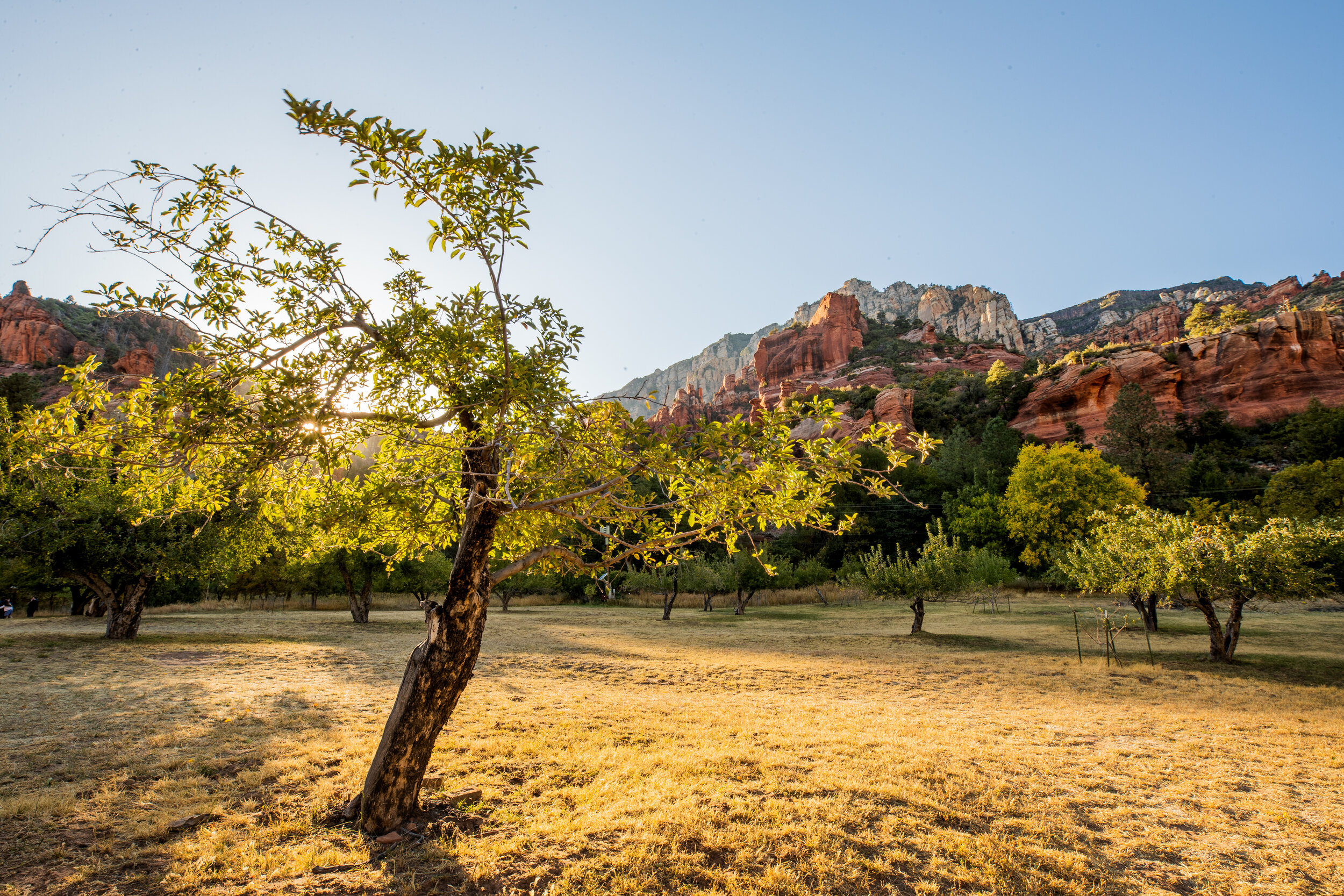
I took up a trip to Sedona to see some fall colors. I got a bit of a late start and thus found myself unable to get to all the trails and sites I had to hoped to but I still had a good time. It was nice to get out of the city and Sedona is always so beautiful.

Follow me on Instagram @medic1480

View this and other photos on my website: medic1photography.com

Photos Available for Purchase: https://medic1photography.smugmug.com/Sale/i-wW3ZqwN

Country Road

Location: Caledonia, Wisconsin

Background: While I was home this summer my buddy AJ was quite keen to check out my drone. After finding out that his house was within a restricted flight zone, and a failed attempt to fly at a local park due to an unexpected dog show we found a park out amongst the fields in Caledonia. While drone photo’s and video’s are becoming more and more common I still enjoy the unique perspective provided through such a medium.

Photographer’s Note: If you are viewing this on Instagram understand you are seeing a small cropped version of the full image. I encourage (read..beg) you to view the photo full screen through the Weekly Upload section of my website listed below. The limitation’s Instagram places on photos all these years after inception drives me crazy as a photographer that predominantly shoots landscapes. #rantover

Follow me on instagram @medic1480

View this and other photos full screen on my website: medic1photography.com

This image available for sale here: https://medic1photography.smugmug.com/Sale/i-5N7sG7h/A

Tonto Sunset

This photo was taken hours before the large storm blew through Phoenix last week (view photos from that storm here). At the far end of the roadway in the picture you can see the west end of Saguaro Lake which then feeds into the Salt River and popular tubing spot. A final note of interest, this photo was taken from the exact same location as my post from 9.1.2019……just a different altitude.

Follow me on Instagram: @medic1480

This and other photos available for purchase: https://medic1photography.smugmug.com/Sale/i-TfW5JrF/A

(Click to view image full screen)